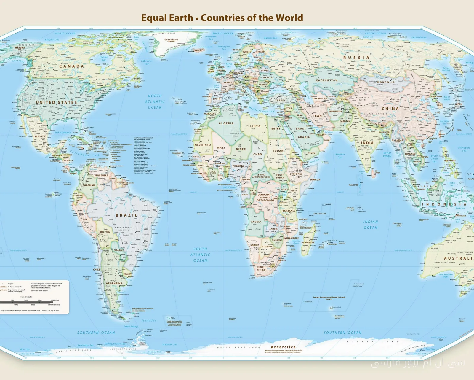
In a controversial development, Japan has protested the approval of the new global map by the United Nations. This map, which was recently approved by the UN General Assembly, presents an inaccurate depiction of the Kuril Islands, which are disputed between Tokyo and Moscow, and appears to show these islands as part of Russian territory.
A map that displaced continents
The new map strangely shows Africa as larger while the continents of Europe and North America appear significantly smaller. These changes have not only caused confusion among various countries but have also provoked strong reactions from the United States. It seems this map not only questions geographical accuracy but could also exacerbate political tensions among the involved countries.
Diplomatic consequences
Japan, as a country that has historically resisted Russia's claims over the Kuril Islands, feels threatened by this map. Tokyo officials state that this inaccurate depiction could weaken Japan's position in diplomatic negotiations with Moscow. For this reason, Japan is seeking to amend this map and review it to accurately reflect geographical and historical realities.
These developments highlight the importance of maps in global politics and how they can influence international relations. In a world where information and visual representations play a key role in shaping public opinion, such maps can easily impact the relationships between countries.